The Mysuru-Bengaluru Expressway, a 10-lane access-controlled highway that connects the two major cities in Karnataka, is set to become India’s first road to implement a satellite-based tolling system that will enable barrier-free and hassle-free travel for commuters.
The Union Transport Minister Nitin Gadkari announced in the Rajya Sabha that the government has decided to initiate a pilot project of the Global Navigation Satellite System (GNSS) based toll collection on the expressway, along with some other roads in the country.
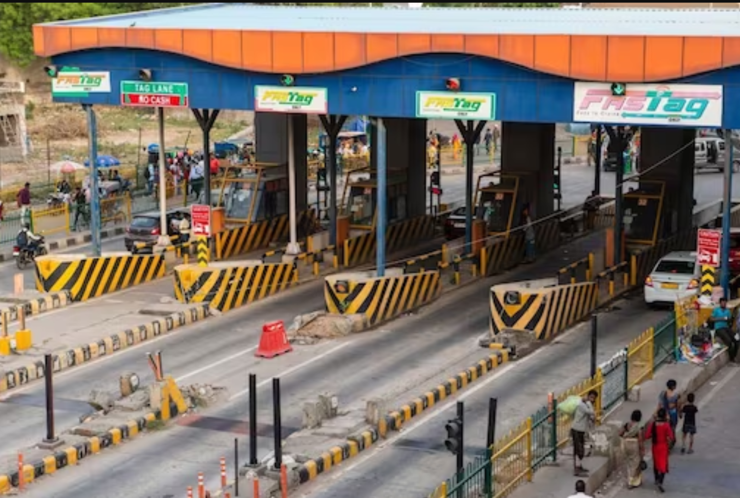
According to the Minister, GNSS is a technology that can retrieve the precise position of the vehicle on the highway and calculate the toll fee based on the distance travelled. This will eliminate the need for vehicles to stop at toll plazas and pay through radio frequency identification (RFID) based Fastags, which are currently mandatory for all vehicles.
The Minister said that the government has appointed a consultant to provide advisory services on the implementation of GNSS technology and that the photo of the vehicle’s registration plate will be captured to determine the toll amount. He also said that a total of 8.13 crore Fastags have been issued so far, with a penetration rate of 98 percent.
The satellite-based tolling system is expected to reduce congestion, pollution, fuel consumption, and travel time on the expressway, which is one of the busiest and most important highways in the country. The expressway, which is currently under construction, will span 117 km and reduce the travel time between Mysuru and Bengaluru from four hours to 90 minutes.


